Events and GPS tracking
1. Events
Events indicate an action made during the duty cycle and execution of the trip.
Examples of events include:
Checked in for the shift start
Loaded the vehicle
Arrived to the order location
Completed or skipped the order
Returned to the depot
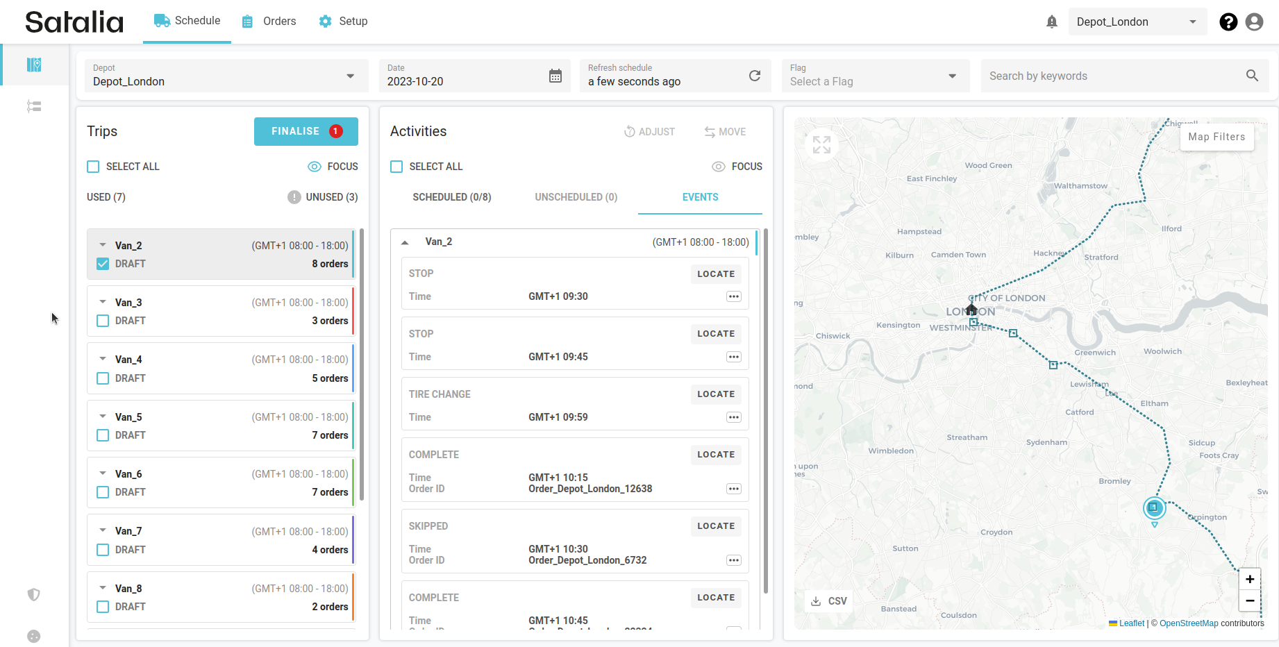
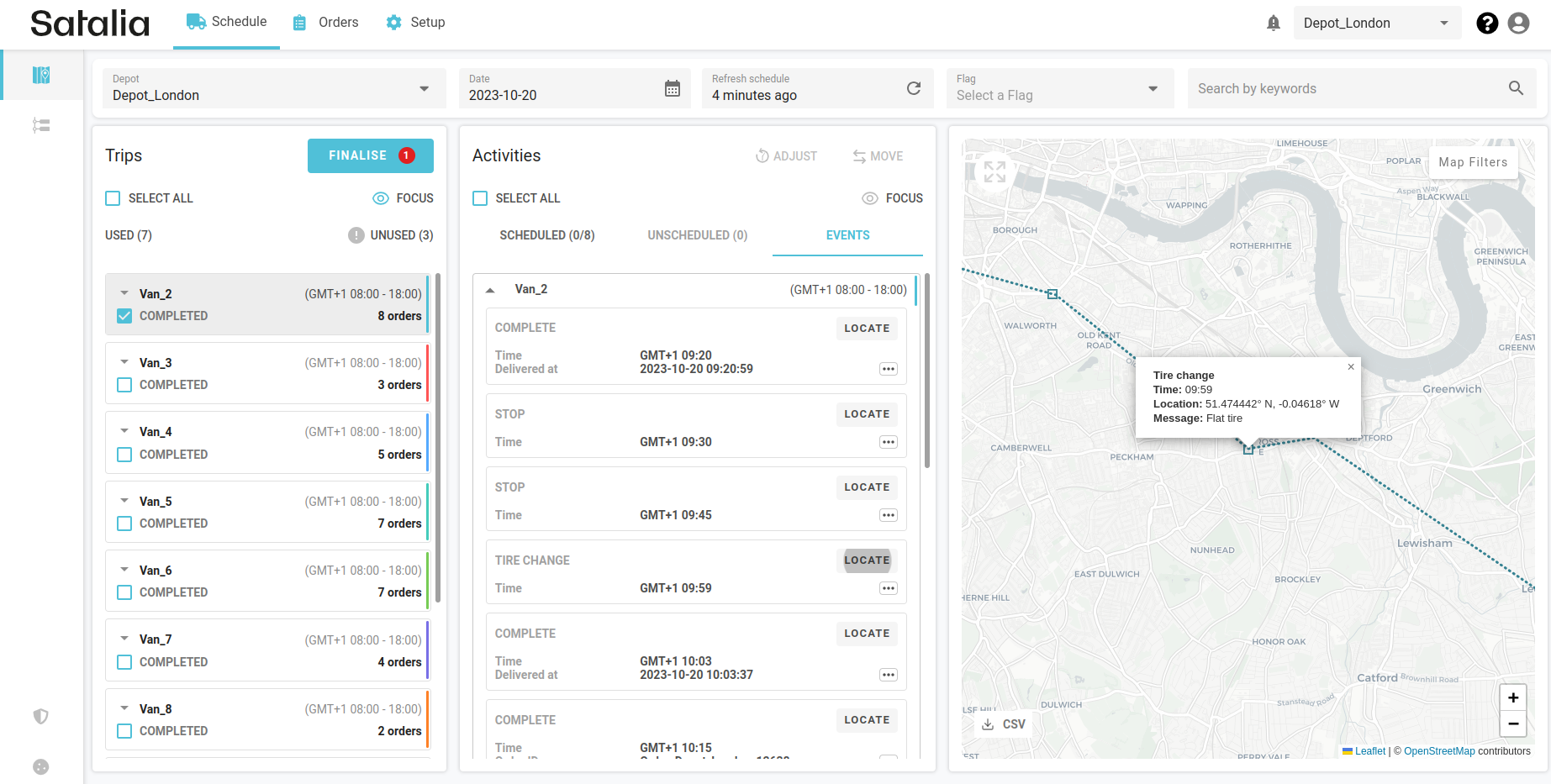
You’ll see events marked as squares on the map. They also have their own tab in the activities section where all activities are listed out. By pressing on the 'Locate' button, on the map you’ll see relevant information about that event. Squares on the map are also clickable separately.
We allow flexibility to send through any types of events for displaying and inspecting in the Control Room. But there are predefined events - Completed and Skipped - which automatically change the status of an order.
To activate events functionality, you need to integrate our Events API with your trip execution solutions, usually a driver application.


2. GPS tracking / Location pings
Location pings (GPS tracking) are used for tracking and updating the real-time geographic location of a delivery vehicle. This process allows you to track the progress of a trip, estimate expected time of delivery and alert for any unexpected delays.
Pings should be automatically sent from the vehicle at regular intervals and are displayed on the schedule map as an actual route. To activate pings functionality, you need to integrate our Locations API with your trip execution solutions, usually telematics or driver application.

The “Actual Route” setting should be enabled in the map filters to make location pings visible:
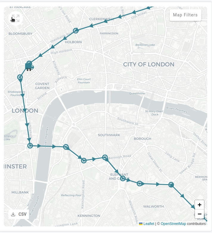
The arrows on the route indicate the direction in which vehicles are moving.
The van symbol on the map indicates where the driver is at that current moment or where their last location ping was within the trip.
The circles represent actual GPS location pings. If you click on it, you’ll see detailed information including the time it was generated and coordinates.

